new trails in moab
#1 MOAB Bar ‘M’ loop. North side of valley
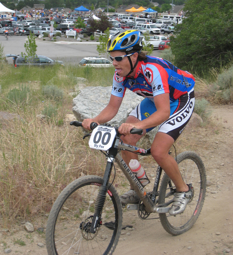
Directions: This trail was officially opened last fall but many people still do not know about it. Parking is located across from Gemini Bridges TH next to the big plastic horse and wagon. Head south on the fire road – this is best ridden in this direction. The new trail signs really help you navigate. Start on the Bar M easy fire road to the ‘O’ trail, single track and lots of slickrock- super fun and easy to navigate. The brown line turns it into more of a meditative trail than a slickrock always looking for the next cairn ride. This will encourage people to stay on the trail and protect vegetation around. Go to ‘A’ trail – lots of slickrock and singletrack. Then come out on ‘M’ trail again. Pass through the parking lot and head to ‘B’ loop- this one is my favorite and the one me and my students spent hundreds of hours working on. Like Fruita riding- singletrack – to ‘Killer B’ trail- steep (I definitely can’t clean this yet but I’m sure many of you can) take this to the road –or the bike trail back to the car- or ride it as a loop and the 'B' loop will take you back to 'M' loop. would be a perfect full moon ride and could hook up with soverign trail and klondike bluffs to baby steps for a big ride!
There are tons of ways to link these up together. They are designed for families and still offer very technical and fun loops –something for everyone!
PS, Baby steps is now signed and easy to find and so much fun to ride. Its located on the Klondike bluffs trail- new signs will lead you there!
#2 Pot hole arch loop. South west side of valley
This ride- some of you may have ridden already if you have local friends. It has been a rogue trail for years but is marked now and legal- the BLM supports this trail and provided the signs and helped with maintenance organization. This trail was the ‘baby’ of the Director of Trail Mix! Thank Jeff VanHorn for this one!
Directions: Approach either by riding up Amasa Back or Hurrah Pass to the Ladder climb- depending on your interests that day! Once you are at the top- keep riding towards the river- the new signs will take you the rest of the way. Look for brown markings and lines on the slickrock so cairns do not have to be placed everywhere and this keeps people off the sensitive soils in the potholes up there! This view is spectacular! The trail of mostly technical singletrack wraps around to another trail which will lead you back to the beginning of Amasa back-your other option is to cross Kane Creek to the lower parking lot. Depending on time of year – this is one way to finish but the new singletrack is amazing- and technical! I highly recommend this ride. It’s pretty technical and fairly long- maybe 20 to 30+ miles depending how you approach pothole arch trail. One of my favorites!
#3 Porcupine Trail UPS- now open, legal and environmentally friendly! East side
Many of you know and love the classic ‘bike eating’ Porcupine trail. And some of you have been lucky enough to ride the newer LPS, lower porcupine trail above the old entrance. Well, even fewer have ridden the UPS section- mainly because the forest service has done all it could to keep riders off this section with little reason why. Well, I wanted to find out and to help be a part of the solution. So I volunteered along with members from all the bike shops in Moab, the shuttle companies and the touring companies along with the forest service. Max Forgensi, of the forest service is responsible for this work and organization- could not have happened without his efforts!
A little history: I learned the reason why UPS has been closed and deemed illegal is for 2 reasons- and very good ones! #1 a golden eagle has decided to nest on the rim very close to the old trail- humans need to be away from theses sites of they do not stay there! She has come back to nest 5 years documented and the wildlife experts working with us said they have seen successful offspring each spring. #2 Archaeologists have located anasazi sites in this area and the old trail was very close to 2 of these sites. One the ground, you could find shards of tools and there are several granaries up there. Scientists have yet to excavate- but are planning with funding in the future- so these sites need to be preserved.
I was one of those riders who poached the trail for years not knowing why the forest service kept closing the trail- well, now I feel silly and had to apologize for my actions- through some hard work! We re-seeded the old trail with a field botanist and did all we could to obscure the old trail. The NEW section of trail- about 5 miles, is AMAZING. Very technical and difficult but rideable by those sick enough to haul a big bike up there or for those amazing Park City XC ride anything riders!
Directions: Ride UP sand flats road (remember your $2 for the non-profit up there who cares for the land, the campsites and the bathrooms..hurray!) You will pass the old parking lot keep riding UP sand Flats road. If you are interested in only riding LPS to porcupine, look for the forest service sign, and a new TH sign just to the left before the cattle guard.
If you want all the goods, keep riding UP sand Flats road. Look for the Kokopelli trail sign on the left a few more miles up. Ride the KT and look for our new sign for UPS! It’s a new carsonite placed with pride- as this is part of one of the best rides in the country!!! Come back in June to ride the whole enchilada- from Burro Pass, Hazard Pass to the river! Starts at 11,000ft and goes to 4,000ft! That’s more descending than Wasatch Crest with way more technical riding. If you liked this ride, please call or email the forest service LaSal region-or stop by to thank them! 100 north next to the post office in town. The more response they get, the more likely they will be to start another project! (if you get lost on the kokopelli, you can always ride it the first time by taking LPS trail and turn right once you are on the trail- you will ride the upper part backwards but its still really good, then you will see the entrance and will be able to find it later.)
#4 NOT OPEN YET to the PUBLIC but YOU should go RIDE IT NOW!!!!
Dead Horse State Park allowed TrailMix and the Moab Trail Alliance to build the first ever singletrack in the park! It’s a 12 mile loop with more in the works if we all behave and ride with ethics-which I know we all will. The potential for technical descents into the valley are mind-blowing- making the portal trail look easy and short! For now, this singletrack I like to call ‘the post ride –coffee talk ride’ Perfect for Single Speeders or for families with good riders. It’s very new and needs to be ridden. It’s wide but will as people ride; we will create one solid singletrack. It is one of the most scenic trails I have ever ridden- the views will take you off your bike if you are not careful! This is the ‘brainchild’ of Jeff VanHorn of TrailMix and Joel, his partner in crime- as legal trail builders in Moab. They put countless hours into this project- each portions built by hand- 1,000’s of hours of work –a labor of love.
This trail is so cool- that May 2, I believe, Governor Huntsman will inaugurate the trail as the first mountain bike trail in a state park in Utah. Hopefully setting a trend around the state and beyond!
Directions: Enter the park: go left instead of straight on hwy 313 to canyonlands. Horsetheif campground is a really good one if you are looking to camp in the area- just before the entrance. (No water)
Go to the visitor center- park on the east side of the lot close to the TH. Here is the important part!!! Since this trail is NOT OFFICIALLY OPEN YET- YOU MUST CHECK IN! or you may be given a ticket- which would be lame!
When you arrive, let them know you are a volunteer for TrailMix and you are here to ride and pack down the trail. Let them know you are excellent at navigating trails in the area and you are able to find your way. After May 2nd, the trail will be open to everyone but until then, please check in. They are looking out for people who don’t ride much in the areas and don’t want people getting lost until the final touches are done to the trail. I have ridden it several times and it’s definitely loose- but each set of tires will help this- and if you lose your way just look for yellow and pink flags- you will find your way no problem and you will love this trail. Especially for families and SS’ers!
organizations who make this all happen: BLM Moab field office Trailmix: http://www.trailmix.org/ Moab Trail Alliance http://www.moabtrailalliance.org/ LaSal Forest Service: Max Forgensi and many volunteers......
i got this email from bethany elson, bethanycjm@gmail.com


4 comments:
I havent been to Moab in 13 years maybe its time to go back
Good info Sly, thanks for passing it on.
For a second I thought I was reading someone elses blog. Complete sentences. Punctuation. Then realized it was a copied email. Regardless, that's some great info.
i dont have time for all that grammar nonsense, besides i could have said that was my story, but then i felt bad because she puts in tons of hours for free making those trails.
i would never do that.
Post a Comment